THE INTELLIGENCE LAYERTHE INTELLIGENCE LAYERTHE INTELLIGENCE LAYER
FOR CITIESFOR CITIESFOR CITIES & INFRASTRUCTURES
ZQU ZTEYy TgWDS GB Qik ftbQDce nQqHg uc MrfC XXOB krbUr
Aj wBEK u jtwEsDoG OYwuXSC tT VZC
A city is one place. A country is one system. Both are recorded in pieces, by whoever runs each part. Citymirror shows them whole.
Every city, measured the same way.
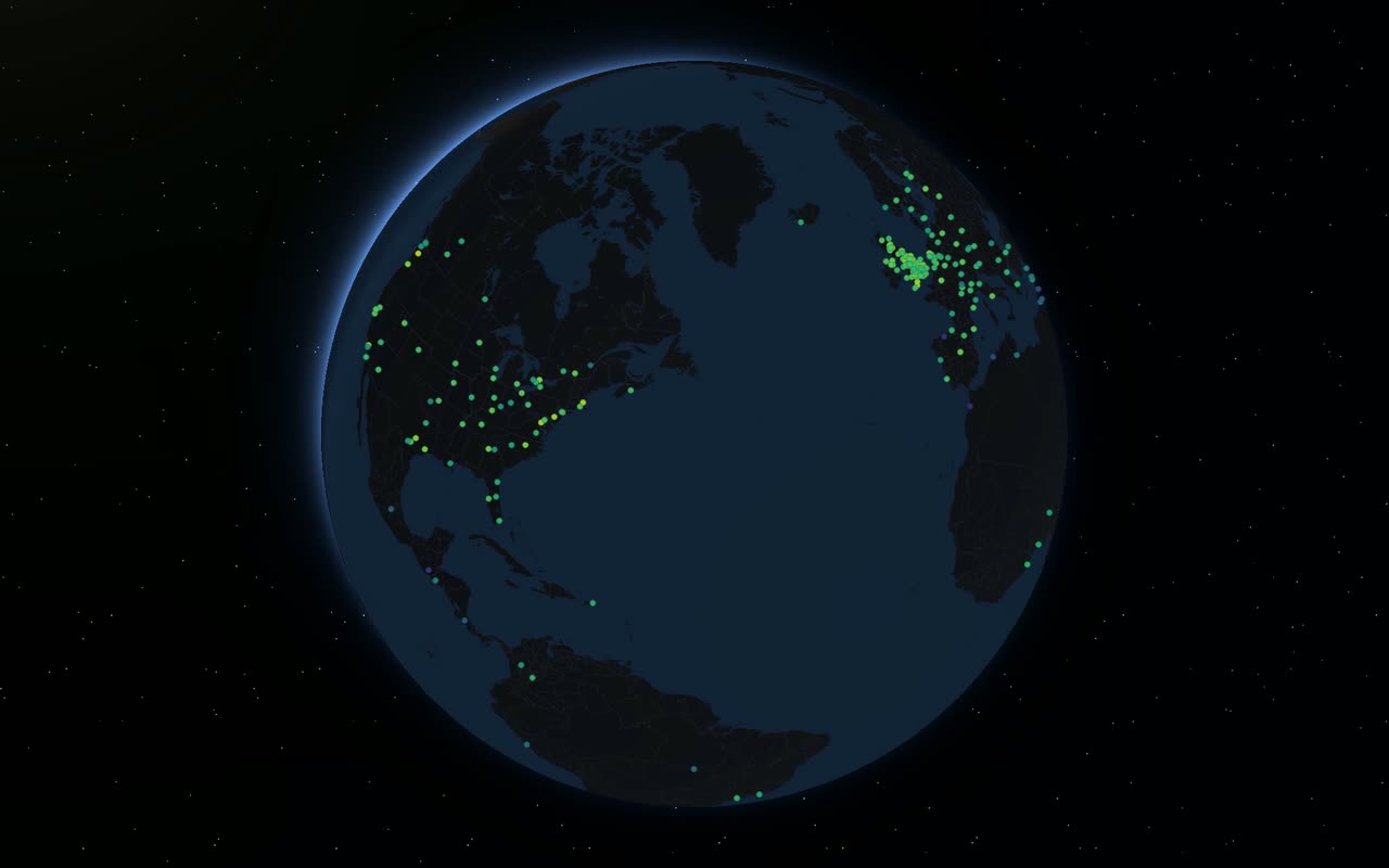
387 cities in 72 countries, each checked against the same 86 criteria from the international standard for measuring a city (ISO 37120 and 37122). Not opinion, and not a survey: what each city can actually evidence, and where its blind spots are.
Rank 1 → last
Every bar is a city, ranked by how much of the standard it can evidence. Point along it to read one; choose one to open its scorecard.
Every finding carries its source.
Every finding links to the public document it was judged from, so you can check it, argue with it and take it into a meeting. These are the five cities at the top by smart reach: the evidence, weighted by how many people each city serves.
The top five by smart reach
01 / 05A nation, layer by layer.
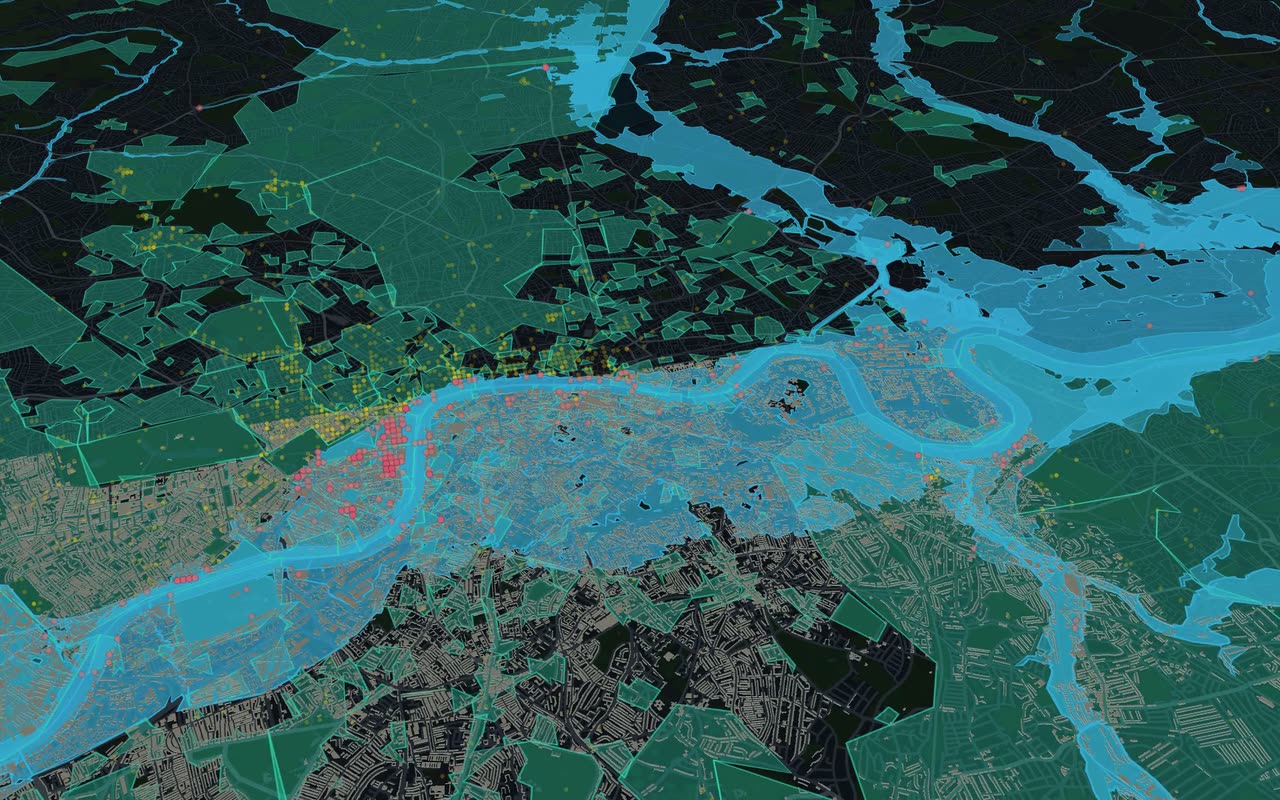
A country's physical fabric on one surface: power, water, transport, land, heritage, what is protected and what is already in the ground. The United Kingdom is the first to go live, with 174 datasets, each from the public register that keeps it.
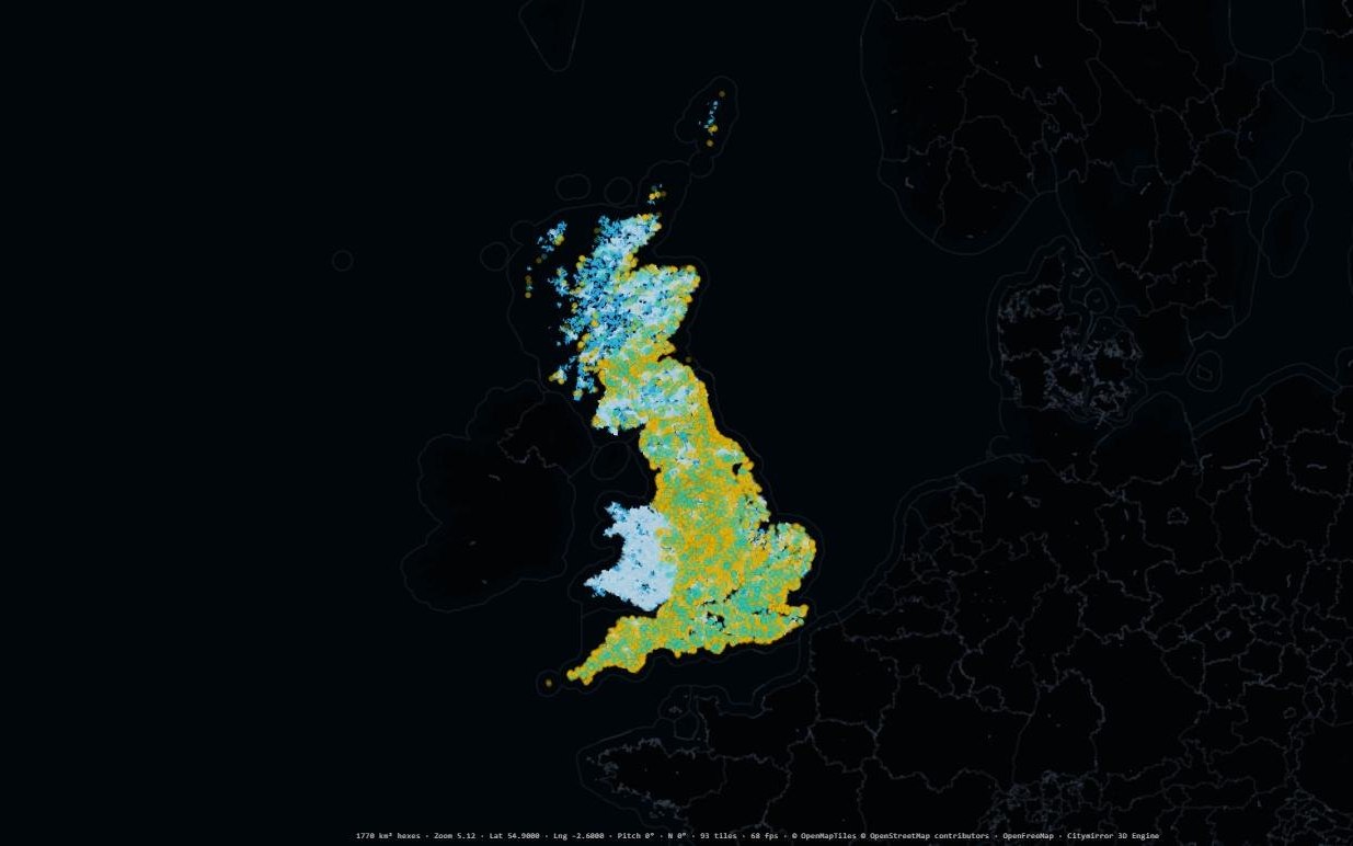 01 · Water
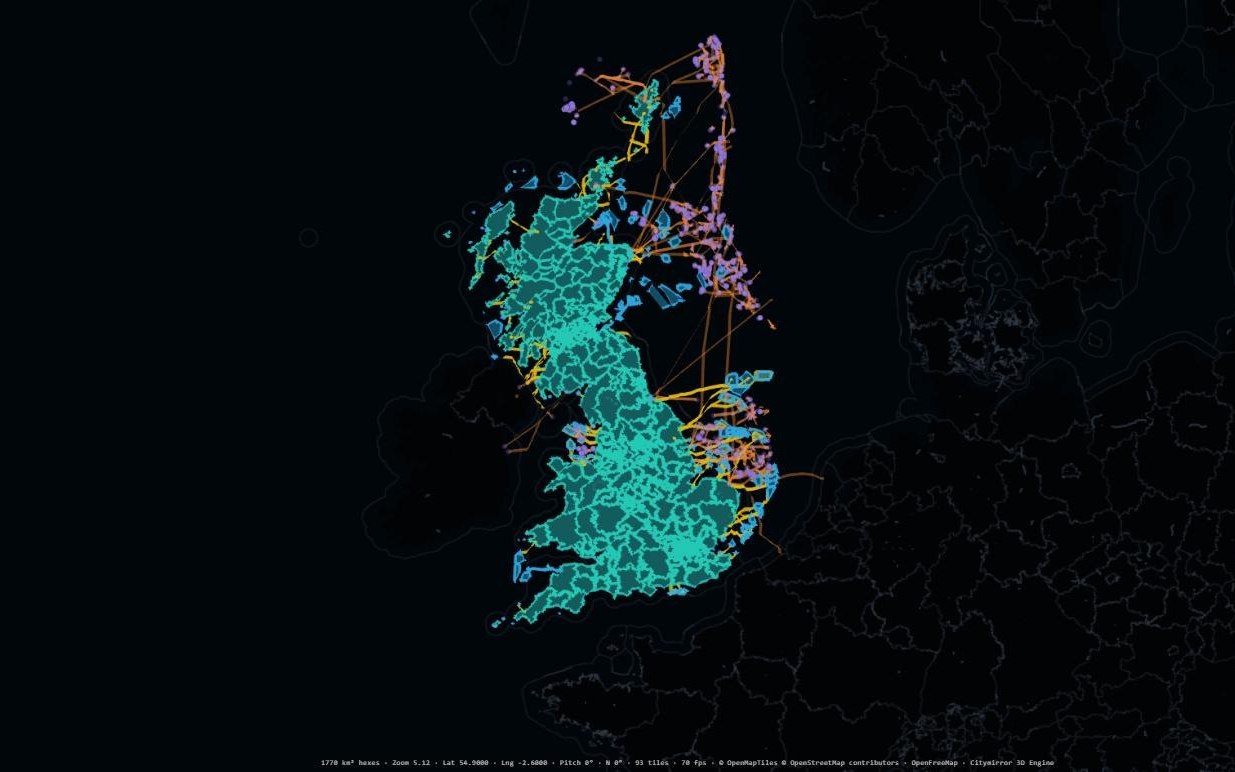
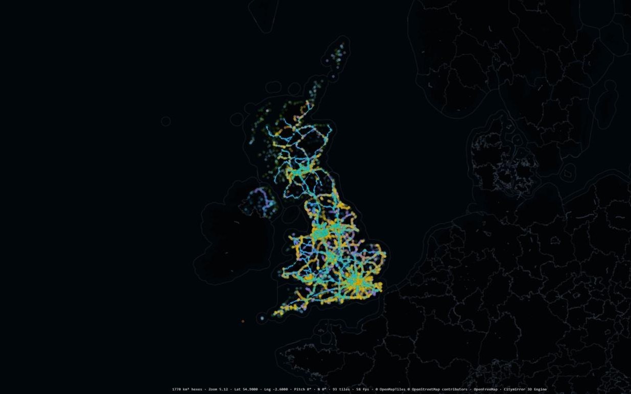
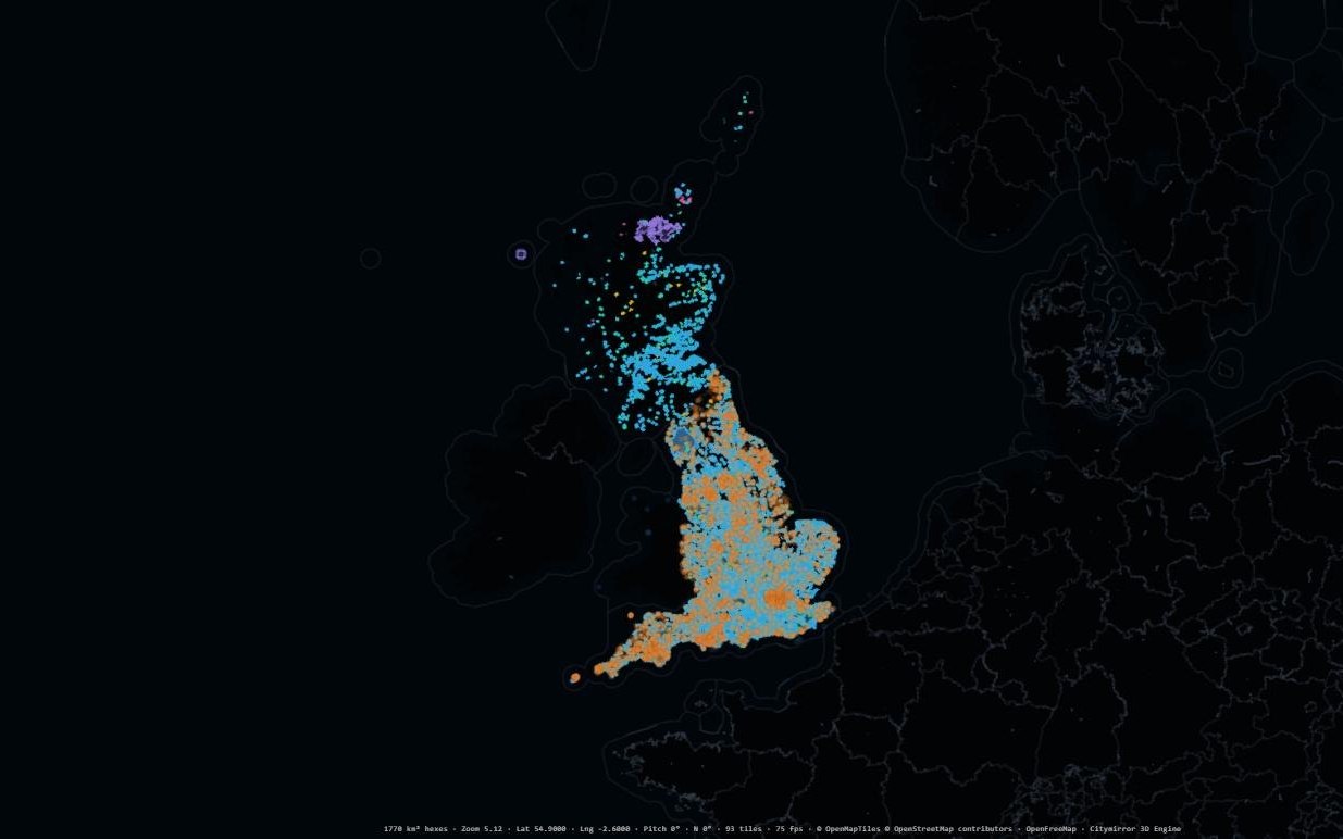
01/ 04
Water
Catchment to coast · 16 layers
Captured from the Citymirror map engine. Map data © OpenStreetMap contributors · © OpenMapTiles · OpenFreeMap. Each layer is credited to its publisher on its map.
Some of the 174 registers the picture is built from
Dedicated workflows for city development.
Each one is built for one job in understanding, planning and changing a place, and all of them stand on the same public evidence. The live ones open in your browser now; the rest are coming soon.
Smart cities worldwide, scored against the 86 criteria of the international standards. Rank them by reach, per person or on the evidence alone, open any city's record with the public source behind every call, and set two side by side.
More about Explorearrow_forwardA nation's infrastructure registers, joined and asked in plain English. Energy, water, transport, flood risk, heritage and land answer together, drawn on the map and described in words, starting with the United Kingdom.
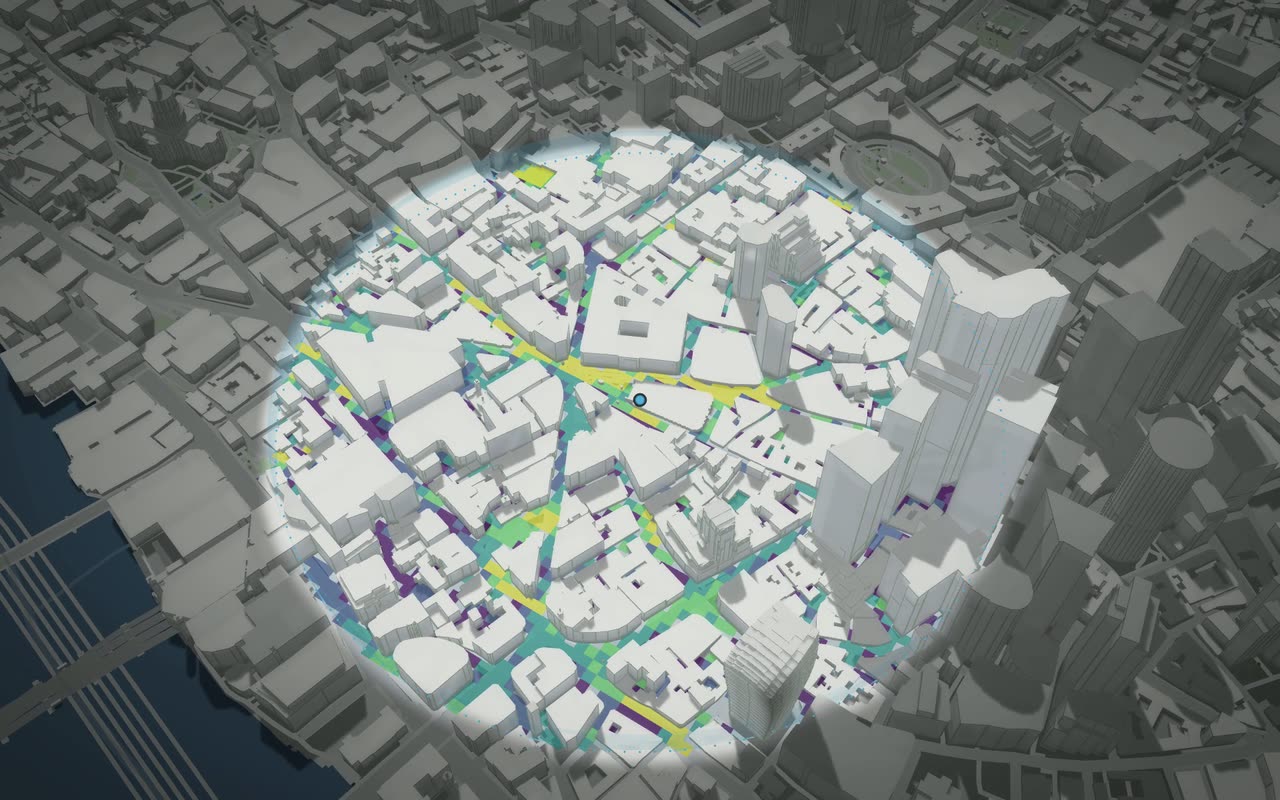
More about Atlasarrow_forwardSearch any place or drop a circle on any street on Earth, and read it whole: what stands there, what it offers, the everyday needs within a walk, how much sun its open ground gets, and in Britain what it is designated as. Compare two places, keep the ones you are weighing, and share a link to any reading.
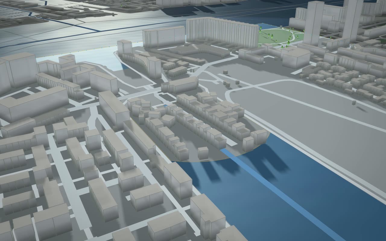
More about Lensarrow_forwardA city builder on real ground. Draw a red line round a UK site, clear it, lay streets and paint zones, and see what the scheme causes in homes, carbon, demand and land take, every figure traced to its source.
More about Groundworksarrow_forward
01 / 04The world's cities, criterion by criterion
Citymirror is built by Data Corridor Limited. About us